Monday, October 29, 2007


UNSUCCESSFUL ATTEMPT TO REACH BRAZIER'S WOOD.
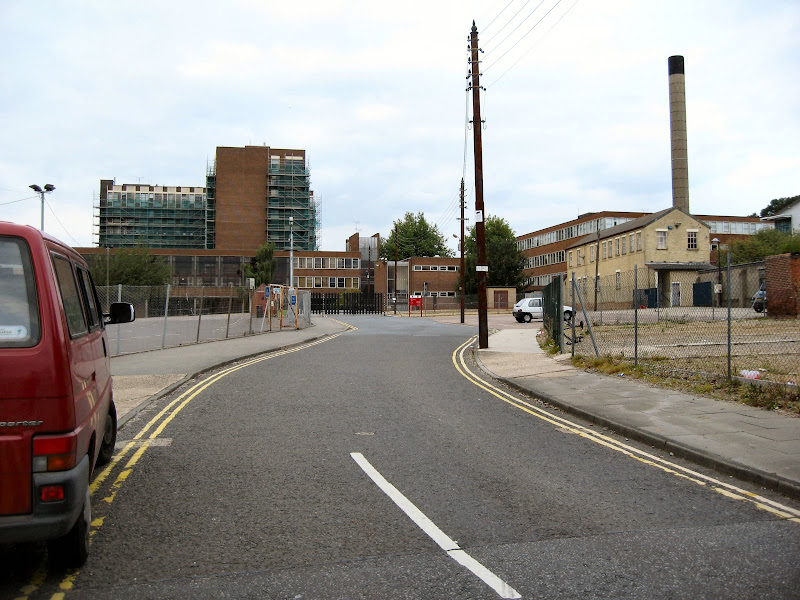
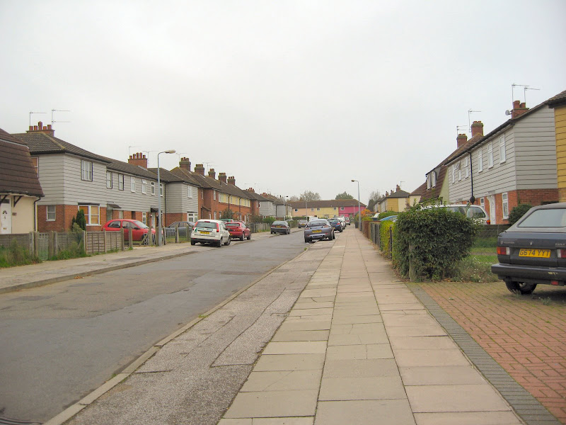
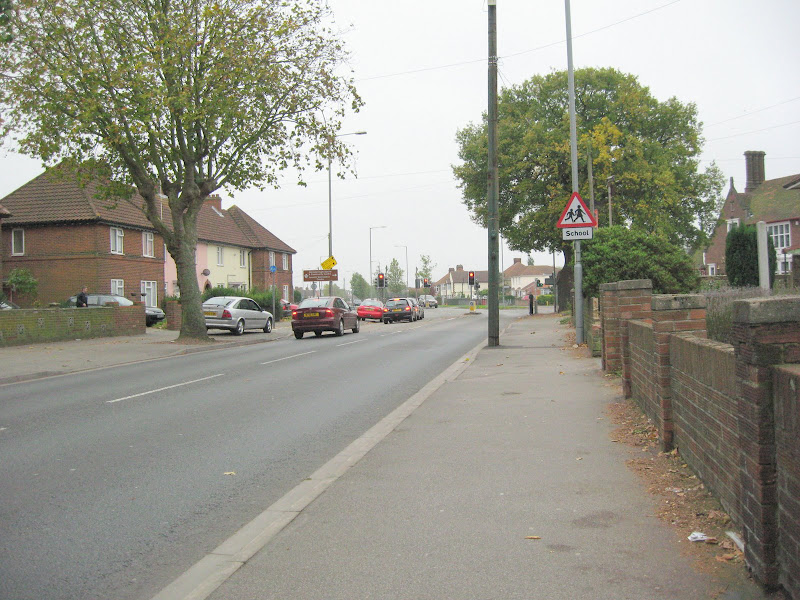
The first 3 pics are of Beatty Road turning right out of my house.
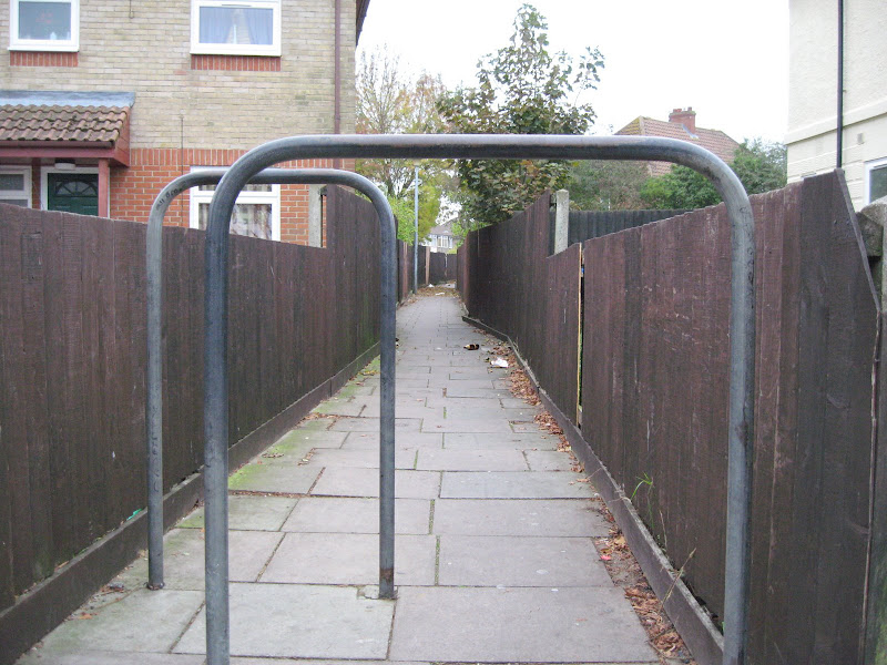
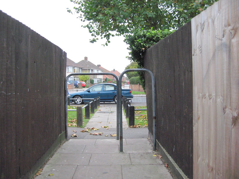
Then 2 of the passage leading through to Nacton Road.
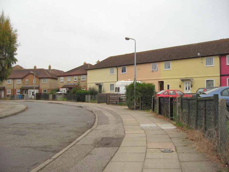
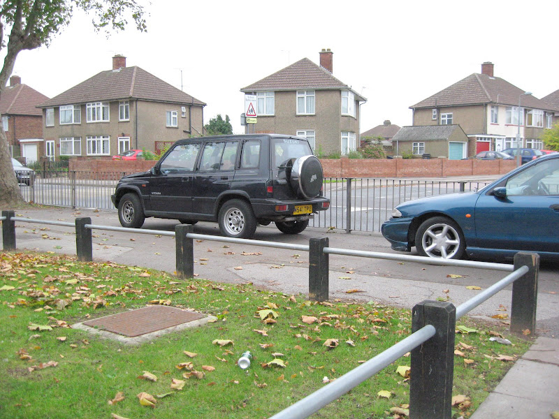
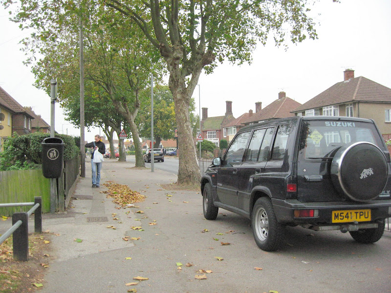
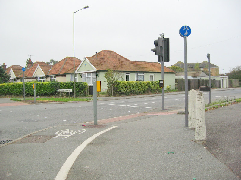
Then 3 of Nacton Road after I have turned left out of the passage.
The next one is of the bungalow I lived in as a child on
Nacton Road Maryon Road corner opposite the Golden Hind pub.
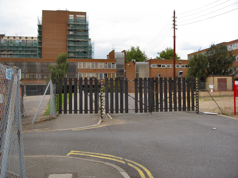
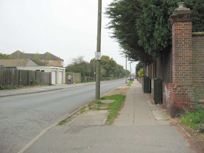
Then I looking down Maryon Road.Then the old entrance to the
airport at the end of the slat fence and not at the end of the
3 barred fence where it is now.Way down Maryon Road and
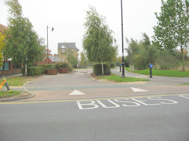
turn into Ravenswood through this bus only opening
onto Ravenwood Avenue.
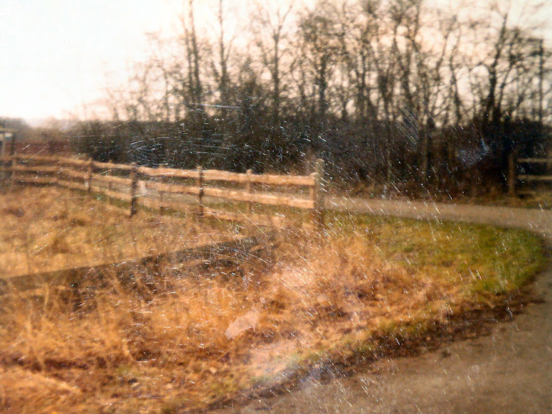
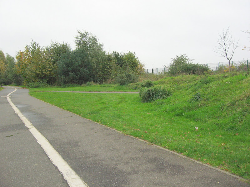
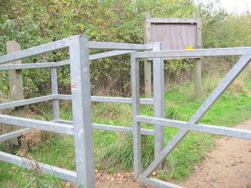
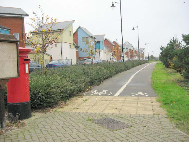
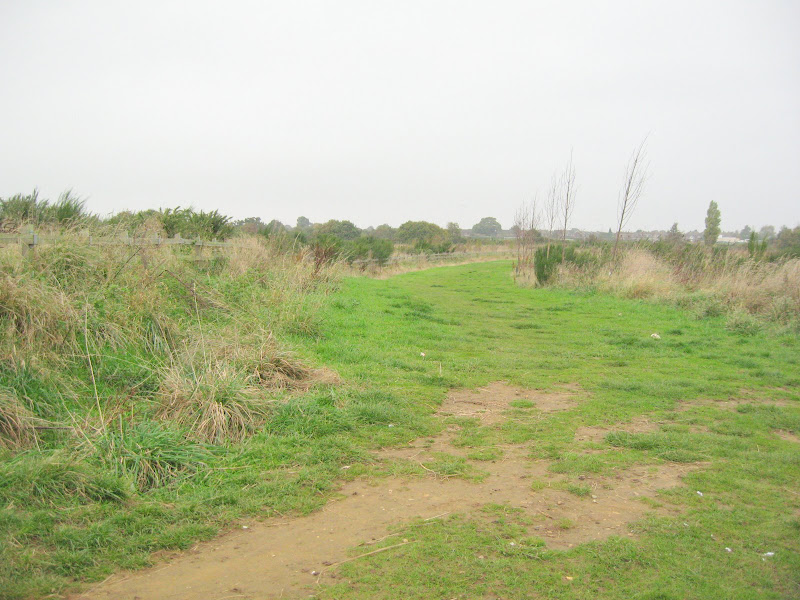
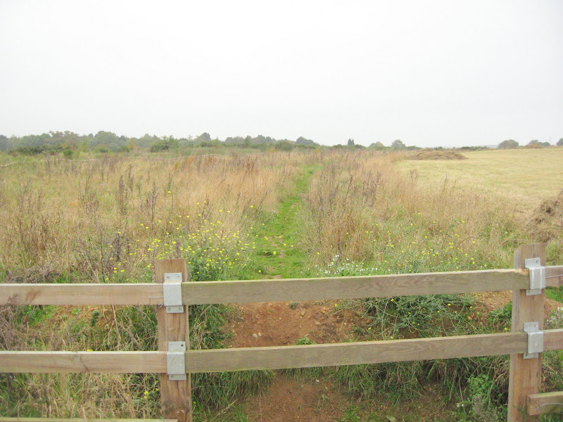
Then 7 pics along Ravenswood Avenue showing the kissing gate
and fence.
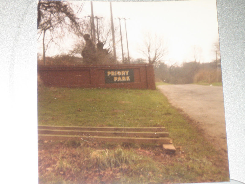
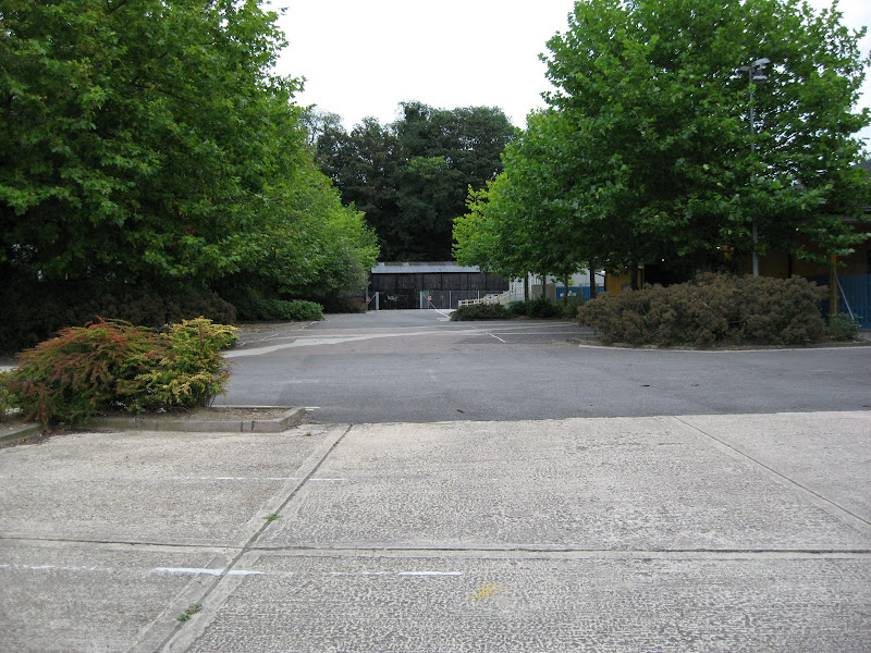
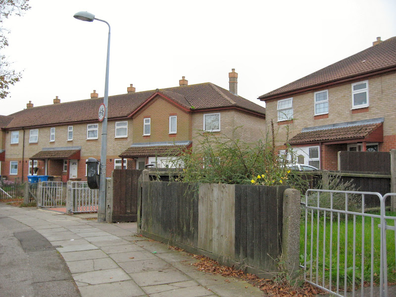
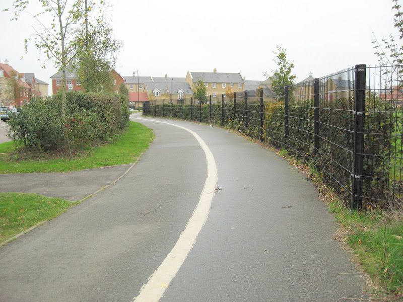
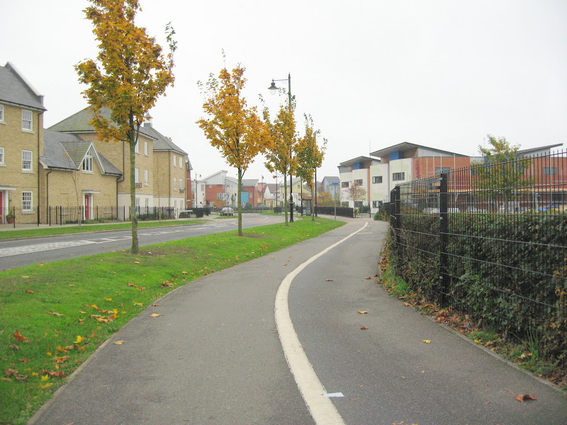
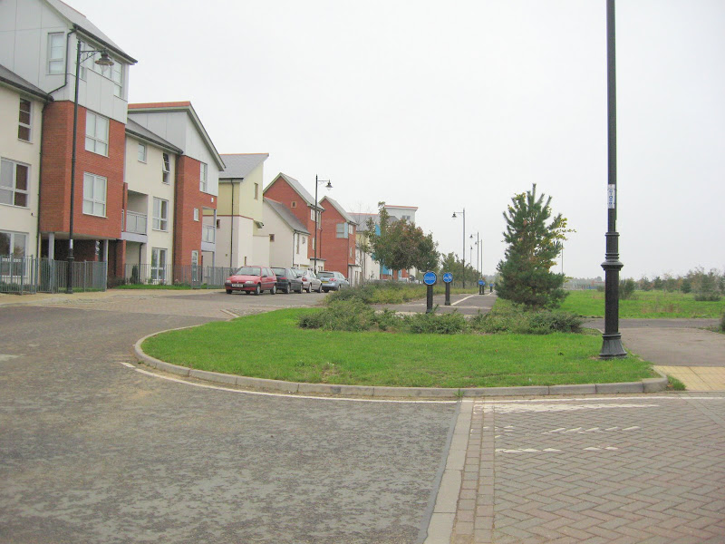
Then 3 pics along Downham Boulevard (I kid you not).
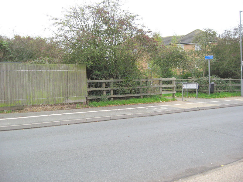
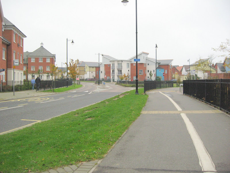
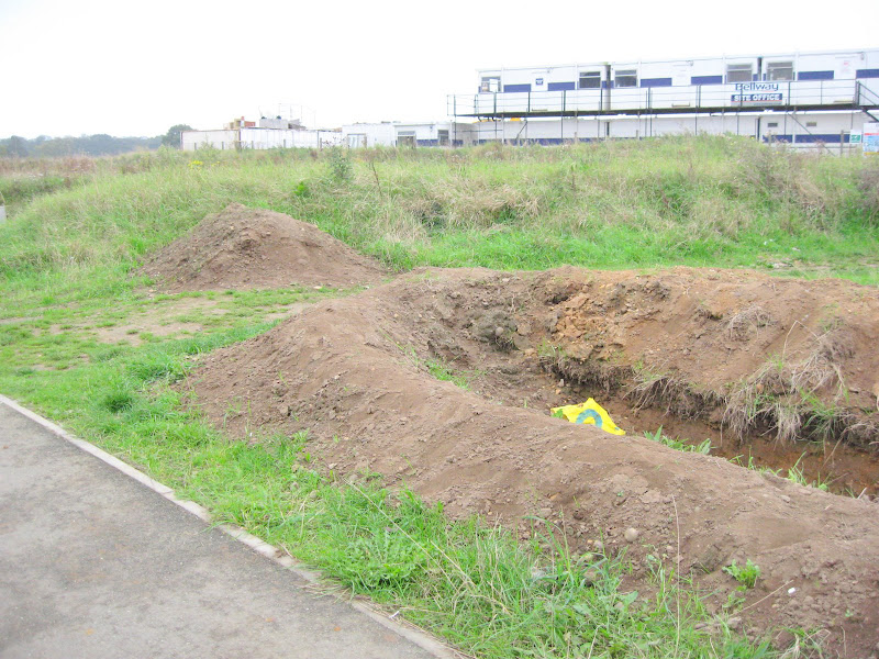
Then 3 pics from along Alnesbourn Cresent showing my entrance
nearly blocked by a trench which actually achieves nothing.
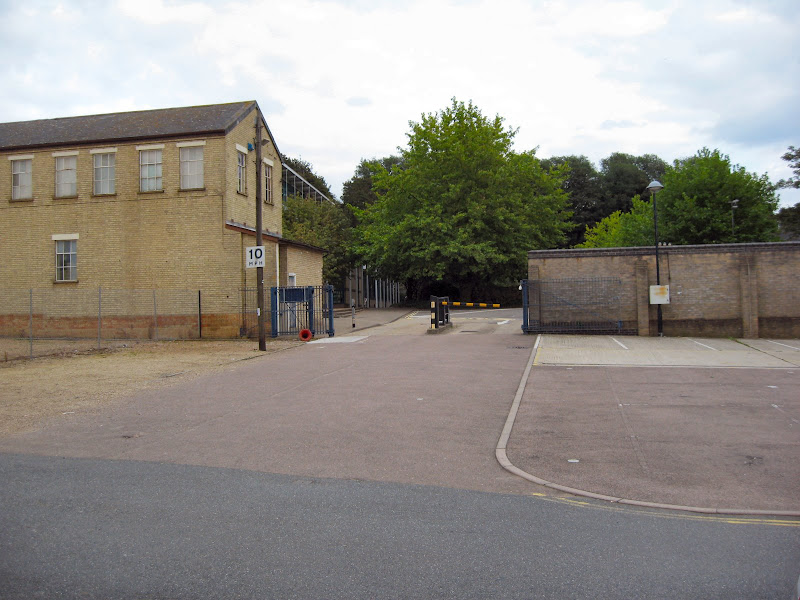
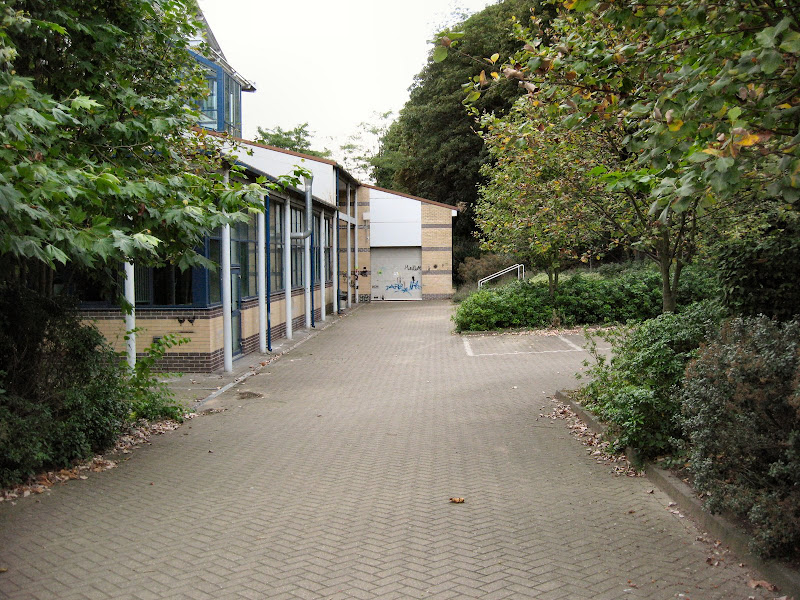
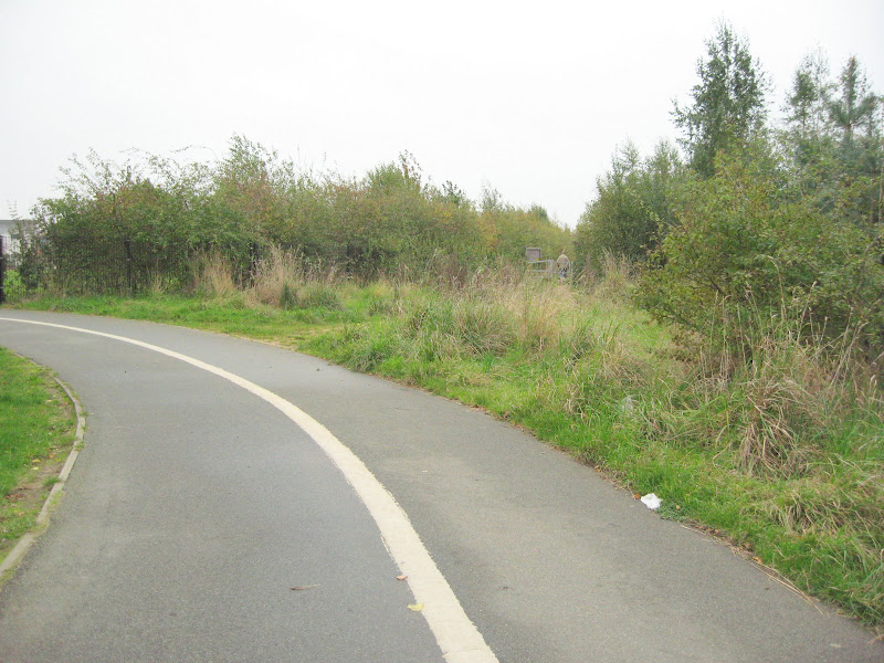
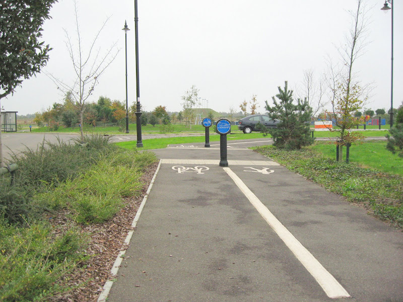
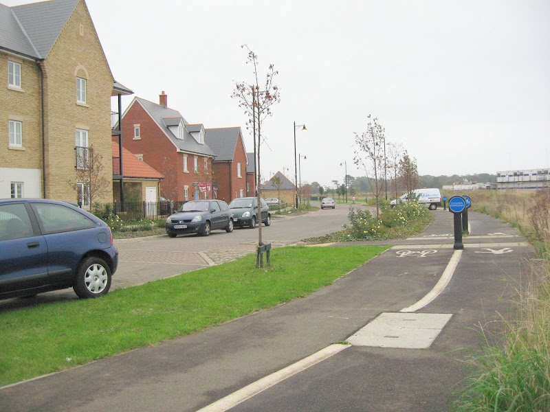
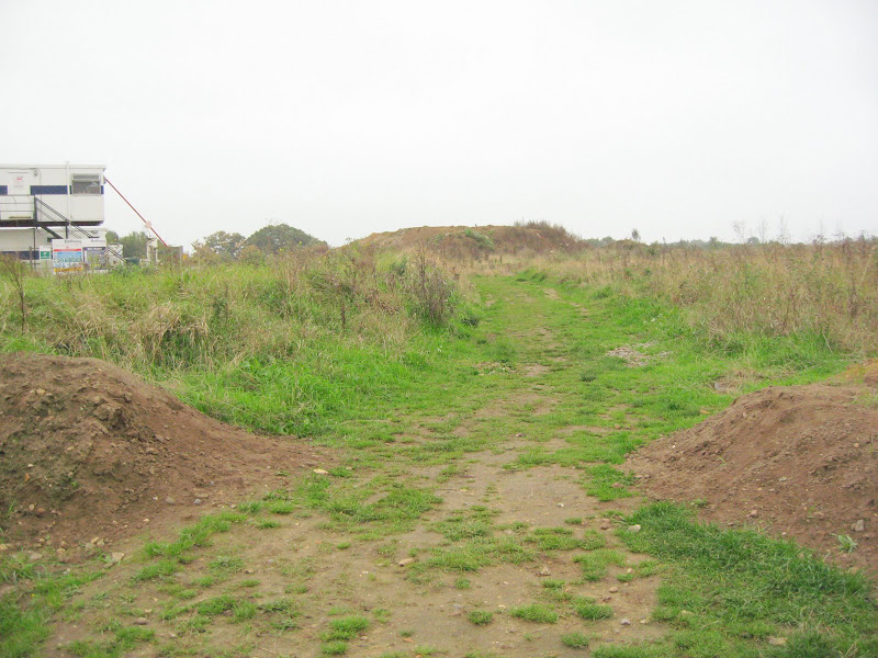
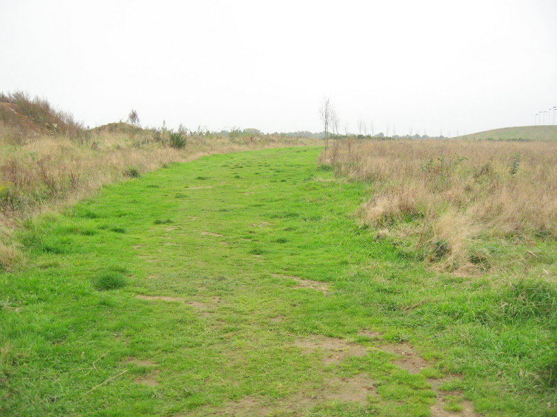
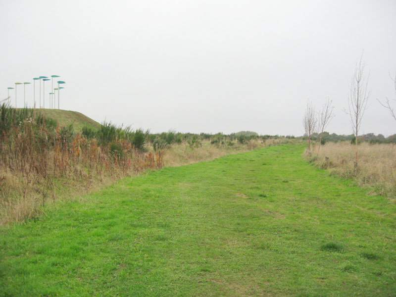
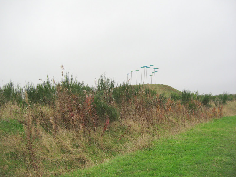
Then 7 pics going back now to the lane that leads beside the hump.
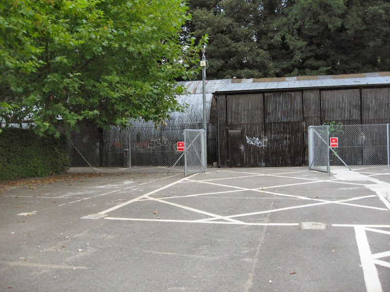
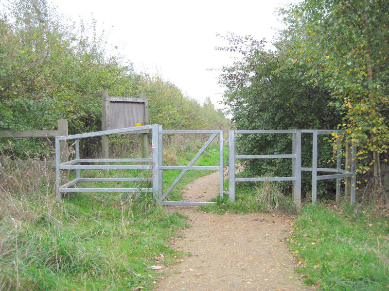
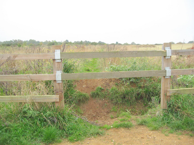
Then 3 from the lane showing where a gate was and blocked now
and trenched.
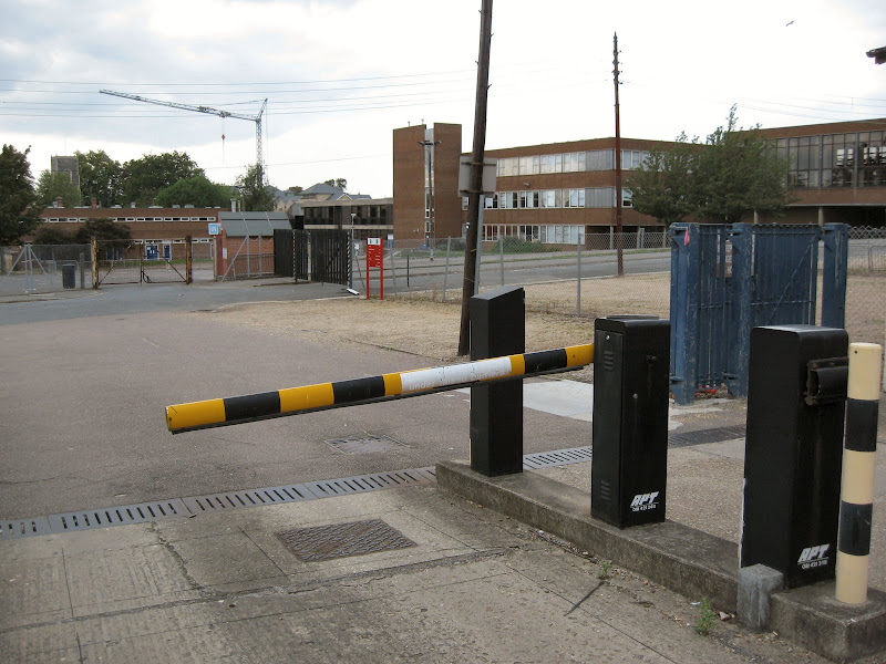
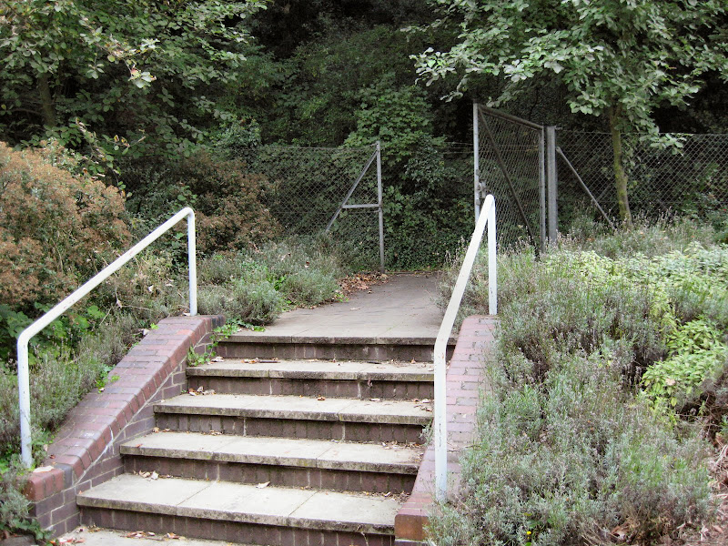
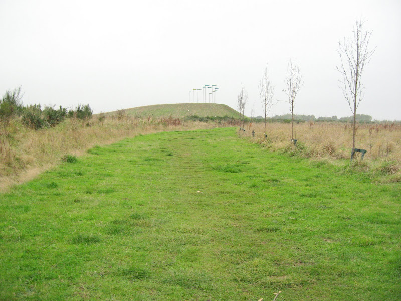
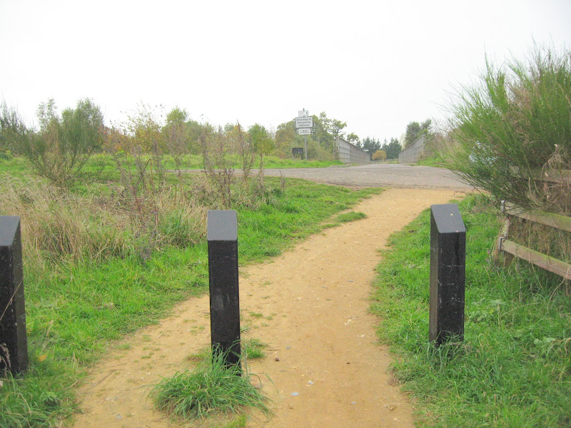
The bridge carrying FP4 over the A14.
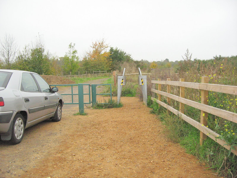
Turn right and there is a 19 inch wide barrier I also cannot get
through so I cannot get into Brazier's Wood because of IBC and their
gates, fences and barriers fetish.
I start back whence I came without getting to Brazier's Wood at all.
peterturtill@gmail.com

Monday, October 08, 2007


TOWARDS MANSBROOKE GROVE FROM AIRPORT ROAD.
We know the road around the airport is a road alright.
Suffolk County Council have registered it as a Foot Path:-)
It is FP1 until the bridge over the A14.
Over the bridge going straight is FP4.
Before the bridge and going straight to Brazier's Wood
is now FP2 but it goes around the airport and emerges
in Brazierswood Road. Over the bridge and sharp right
parallel to the A14 heading for Bridge Wood is FP3.
Here is the pic album. Follow the numbers.
peterturtill@gmail.com

Sunday, September 30, 2007


SUFFOLK COLLEGE RIGHTS OF WAY (pics by picassa not Flickr)
Pic 1 shows approaching from Long Street.Pic 2 shows the gate across Long Street. Here we turn right 90 degrees and travel through the half barrier. Pic 3 shows the half barrier. Pic 4 shows the half barrier looking back after passing through. Pic 5 looking ahead again at the 'cycle track'. Pic 6 and the 'cycle track' is just through the gate. Pic 7 is looking left from the same spot as the previous pic was taken from down beside the college. Note the rails leading up to the right. Pic 8 shows those rails and another gate leading onto the 'cycletrack' which runs from Kings Avenue to Back Hamlet. Click on the hyperlink below for slide show of these pics. None are copyrighted and you can print them, save them or whatever.
http://picasaweb.google.com/peterturtill/LongStreetWayIn
Download Web Counters
Pay Check Loans